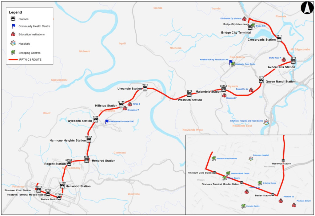
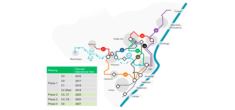
The initial stage of the GO!Durban project is characterised by 4 corridors including rail. This phase is expected to be completed by 2018 and the network will accommodate:
Approximately 25% of the municipalitys total trunk public transport demand on road based IRPTN services
A further 40% by the trunk rail network as part of the Passenger Rail Association of South Africa (PRASA) implementation plans
This approach ensures recognisable benefit to the maximum number of users in the shortest period of time for the given level of investment required. Of the 190km of road based trunk corridors, 60km are planned for the Phase 1.


Comments are closed.